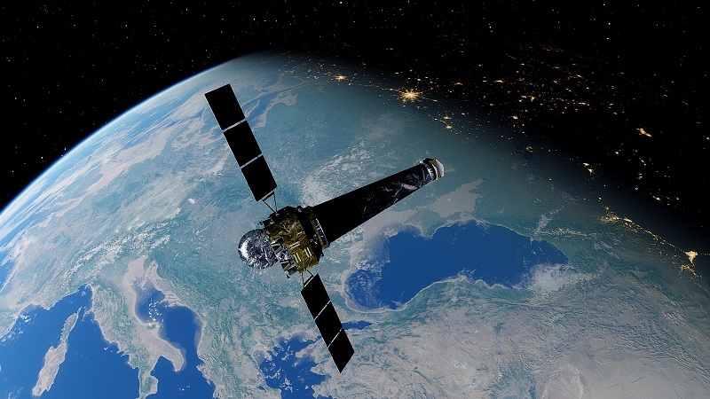
Satellite imagery application is becoming part of different spheres that leverage the collection and analysis of reliable data retrieved from Earth images.
The application of Earth imagery is currently far beyond climate change tracking and environmental preservation. And as modern technology is constantly improving, so does the quality of these images.
Thus grows the overall importance of using remote sensing technology for commercial purposes with the help of satellite observation imagery tools like LandViewer, for instance.
It’s estimated that by the year 2026, the market of satellite imagery will grow approximately by 11% each year and will eventually surpass the mark of $5 billion.
As Earth images are already able to provide information on different properties (biological and physical) of the planet, such data is becoming more and more in demand among the IT companies that design different types of apps by leveraging the high-quality and most recent satellite images.
However, a big part of this market is the use of Artificial Intelligence (AI) and machine learning techniques for the analysis of these pictures.
Ultimately, the true benefits of satellite imagery come from big data analysis and data processing automation. Modern big data technologies enable the analysis of satellite images from different perspectives depending on the purpose of their use. And now, let’s see what are the most unique of those purposes.
Ways of Satellite Imagery Use
Here is how the government and business can use satellite images for the monitoring of various processes.
Oil Reserves Control
Earth imagery significantly simplifies the process of oil reserves monitoring, allowing for detecting the floating oil tanks from above to prevent evaporative losses. That means no more need to measure each oil tank manually. By analyzing the relation of shadows to the floating roof of the tank, it is easy to estimate oil reserves according to a simple formula where more shadows equals less oil reserves.
Slavery and Human Right Violation Detection
Remote sensing can also be used to detect cases of human rights violations. This is especially important in the current world, where 40 million people live in slavery. Notably, the mass cases of slavery occur at big construction sites, stone quarries, mines, and brick kilns.
And these places can be detected from space. For instance, the notorious “Brick Belt” employs millions of people working in the brick kilns. Most of them are underage and work for 9 hours a day. With the help of satellite imagery, such places can be detected to ensure further anti-slavery measures are taken.
Economic Regions Monitoring
Tracking changes in important world economic regions using Earth imagery can be beneficial for hedge funds and investors too. These images are a source of information for different estimations – from crop yields to oil production. Such data is critical for businesses when determining the right decisions, especially concerning investments.
Let’s take oil companies as an example. Most of them conceal the information about the impacts of refinery outage on oil production. Even though the US government provides weekly reports of the country's oil inventory levels, other countries don’t give such information regularly.
This deprives the analysts of the opportunity to obtain this data by using conventional methods. And that is where satellite imagery solves this issue.
Besides, remote sensing can be used even to assess the impact of the Covid-19 pandemic on oil inventories by detecting the oil-storage tanks observed with satellites.
Sustainable Agriculture and Crops State Monitoring
The use of remote sensing technology is nothing new to the agricultural industry since the 80s. More and more applications are developed each year, leveraging satellite data for farm management. The offered opportunities include crop health monitoring, plants growth stages detection, soil health monitoring, weeds and pests threat detection, yield prediction, and much more.
Those modern farming apps enable easier and faster control over the situation on a farm. Agronomists can make reliable decisions regarding field activities based on accurate and relevant data. This means that it has now become much easier to implement precision agriculture practices even for small farmers.
They no longer have to go to the field to analyze their crops' health. With online tools that are based on satellite imagery analysis, they can remotely access all the needed data on one screen. And all of this is possible thanks to the precision that the use of satellite images provides.
Military and Security Operations Tracking
Remote sensing can also assist in remote operations planning and mission deployments. Terminals are nothing new at a military tactical level nowadays. They are a common piece of equipment that provides an opportunity for instant viewing of satellite images. This implies new battlespace awareness possibilities and effective, real-time decision-making by commanders.
Generally, the use of satellite images is almost a ubiquitous practice in the modern world. There are more and more tools that use different algorithms to analyze satellite images for a variety of purposes. And this trend is beneficial to both the governments and various businesses.